


Peaceful, quiet & in private setting-country living but close to city & Blue Ridge Parkway. Purchaser to install well and septic
211 Cobble Lane
MLS# 904123
Tax Map# 111.00-04-17.00-0000
Cleared lot with nice views
3.02± Ac.
Lot: 17
$99,000
219 Cobble Lane
MLS# 904124
Tax Map# 111.00-04-16.00-0000
Lot is cleared and has nice views
3.02± Ac.
Lot: 16
$99,000
237 Cobble Lane
MLS# 904125
Tax Map# 111.00-04-13.00-0000
Lot is cleared and has nice views
4.56± Ac.
Lot: 13
$109,000
244 Cobble Lane
MLS# 904127
Tax Map# 111.00-04-08.00-0000
Lot is cleared and has lake frontage
3.15± Ac.
Lot: 8
$75,000
261 Cobble Lane
MLS# 904126
Tax Map# 111.00-04-10.00-0000
Lot is wooded, on a cul-de-sac, and has nice views
3.08± Ac.
Lot: 10
$75,000
115 Cobble Trail
MLS# 904118
Tax Map# 111.00-04-30.00-0000
Wooded lot
3.21± Ac.
Lot: 30
$85,000
129 Cobble Trail
MLS# 904119
Tax Map# 111.00-04-29.00-0000
Wooded lot
3.37± Ac.
Lot: 29
$89,000
147 Cobble Trail
MLS# 904120
Tax Map# 111.00-04-28.00-0000
Wooded lot
2.73± Ac.
Lot: 28
$75,000
148 Cobble Trail
MLS# 904122
Tax Map# 111.00-04-22.00-0000
Wooded lot
4.28± Ac.
Lot: 22
$89,000
156 Cobble Trail
MLS# 904121
Tax Map# 111.00-04-23.00-0000
Wooded lot on cul-de-sac
4.22± Ac.
Lot: 23
$89,000
10306 Mill Creek Rd.
MLS# 904116
Tax Map# 111.00-04-32.00-0000
Wooded lot with Mill Creek frontage
3.4± Ac.
Lot: 32
$75,000
10334 Mill Creek Rd.
MLS# 904117
Tax Map# 111.00-04-33.00-0000
Wooded lot with Mill Creek frontage
3.49± Ac.
Lot: 33
$75,000
Schools
Back Creek Elementary
Cave Spring Middle
Cave Spring High
A Little Bit of History – Bent Mountain
How Bent Mountain got its name is a matter of debate. One theory holds the name came from two brothers, James and William Bent, surveyors from Pennsylvania who mapped land here before heading west. Others believe the name comes from Bent’s peculiar shape. From the air, it appears bent in the shape of a horseshoe.
The Mountain’s elevation is 3,202 feet above sea level. It sits roughly 2,400 vertical feet above Roanoke. Poor Mountain, just west of Bent, is higher. But not much else around Roanoke is!
Four hunters who visited what we now know as the Roanoke Valley settled Bent Mountain in the mid-1700s. They were so impressed with the area they packed up their families in Pennsylvania and returned here around 1740.
Bent’s fertile soil was well suited to farming. Its orchards produced sweet apples and the cabbage grows big up there. The orchards are still producing pippins and, you can still buy the cabbage as well as other locally grown fruits and vegetables atop the mountain or at stalls in the Roanoke City Market.
Directions
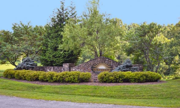
From Cave Spring Corners take 221 South to top of Bent Mountain. Turn right on 2nd Tinsley Lane (right after B & S Mart). Left on Mill Creek Road to the entrance of Stoneridge.
Documents
- Site Map
- Aerial Photography
- Topographic Map
- Stoneridge Bylaws
- Declaration of Covenants, Conditions, Restrictions and Easements for Stoneridge at Bent Mountain
- Proposed Drainfields
- Price List
Asking Price
$75,000 - $109,000